Land Surveying and Geographical Information Systems Engineering MSc
LAND SURVEYING AND GEOGRAPHICAL INFORMATION SYSTEM EGINEERING MSC
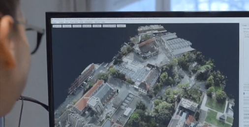
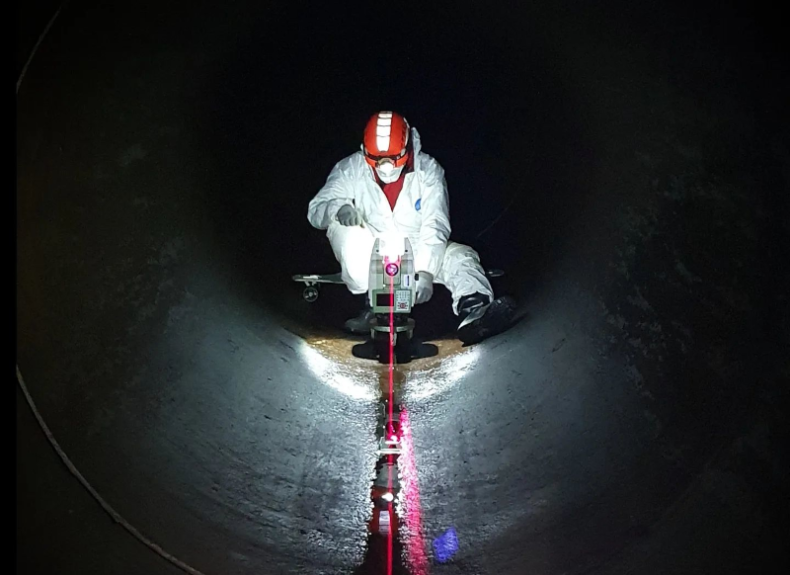
The Faculty offers an MSc program in Land Surveying and Geographical Information Systems Engineering with a duration of 1.5 years. The program provides advanced knowledge of geoinformatics, IT technologies, cutting edge mapping and localisation techniques, geophysics, and adjustment calculations. This program is useful for research-oriented students pursuing a doctoral degree in a PhD program, as well as for the next generation of practicing leading engineers who will solve special land surveying and geoinformatics problems and innovate construction procedures.


